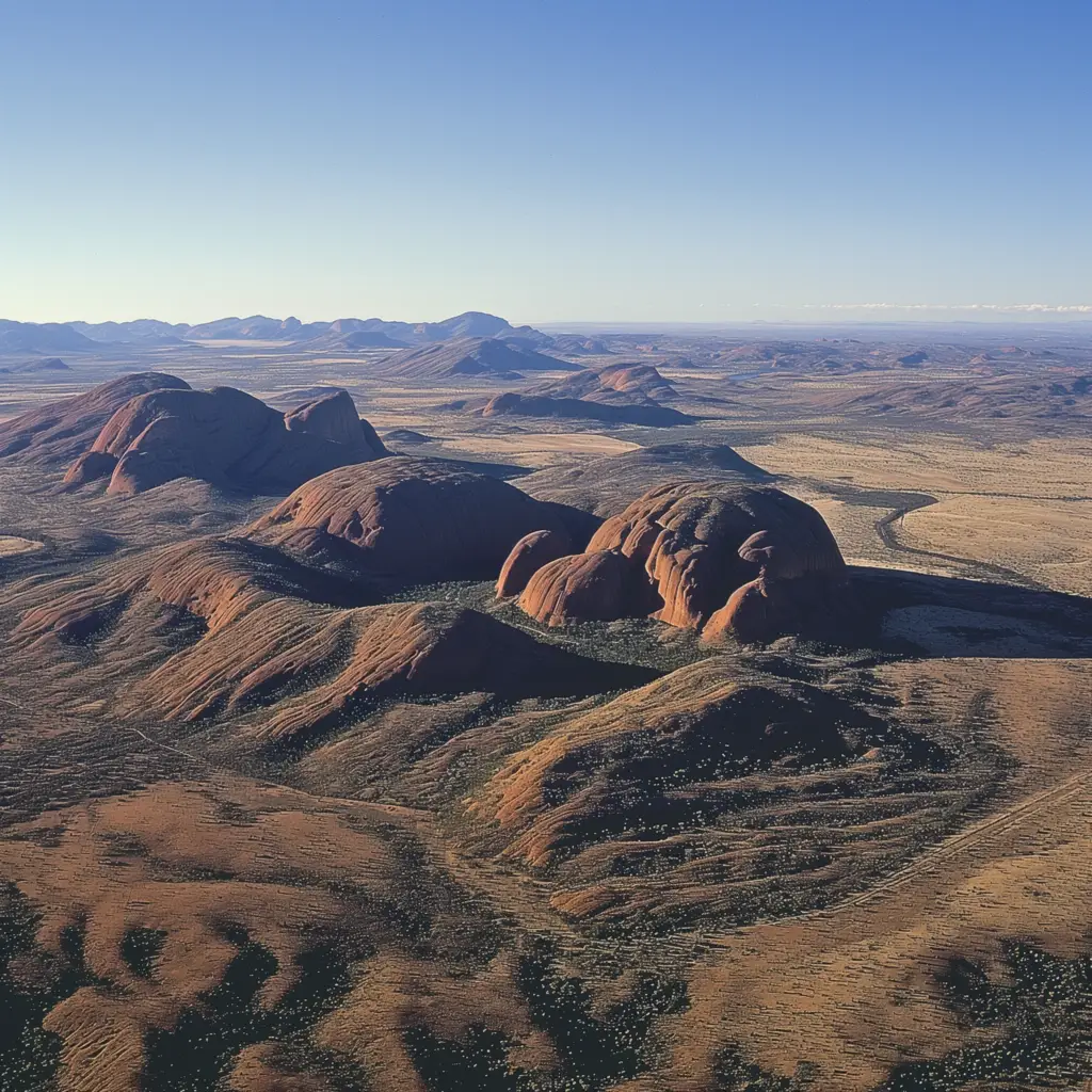
Kata Tjuta, also known as the Olgas, is a striking group of large domed rock formations located about 25 kilometers west of Uluru in Australia’s Northern Territory. This remarkable geological feature is composed of 36 conglomerate rock domes that cover an area of over 20 square kilometers. The highest point, Mount Olga, rises approximately 546 meters above the surrounding plain and about 200 meters higher than Uluru, making it a prominent feature in the central Australian desert landscape. Kata Tjuta remains deeply sacred to the Anangu people, the traditional custodians of the land, who have inhabited the area for thousands of years.
The name Kata Tjuta literally means ‘many heads’ in the traditional Pitjantjatjara language, reflecting the site’s unique formation and spiritual significance. Each dome and valley is believed to hold spiritual meaning, involved in various creation myths and ceremonial functions. The area is rich in Aboriginal culture and history, with numerous traditional stories and legends that are only shared by the local Anangu among themselves, maintaining a deep sense of mystery and reverence for the place.
Kata Tjuta is not only a cultural and spiritual site but also a natural wonder that attracts geologists, ecologists, and tourists from all over the world. The landscape is characterized by large, rounded boulders and steep valleys formed from conglomerate rocks containing pebbles and cobbles of varying types of rocks cemented by sandstone. Walking trails, such as the Valley of the Winds, offer visitors the opportunity to explore the heart of Kata Tjuta and experience the quiet solitude and stunning vistas that the area provides. The area’s ecology is as diverse as its geology, supporting a variety of plants and animals adapted to the arid environment, making it a fantastic site for nature lovers and adventure seekers alike.


